


7.8 km | 10.7 km-effort


User


FREE GPS app for hiking
 SityTrail
IGN / Geographical institutes
SityTrail World
The world is yours!
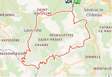
Trail Equestrian of 26 km to be discovered at Occitania, Aveyron, Sévérac d'Aveyron. This trail is proposed by lilypops12.
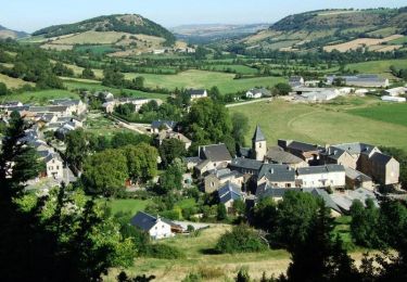
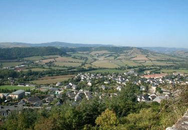
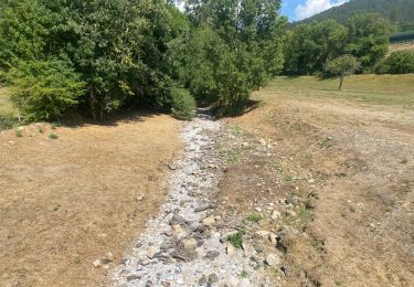
Départ du lac de la cisbà- col de palassy- traversée st gregoire- descente sur Lavernhe et traversée direction Gandalies- montée vers le pic du pal en passant sous gandalies - passage devant table orientation ( panorama) - descendre jusqu'au croisement 4 chemins- prendre à gauche puis premier chemin à droite jusqu'à route de pomayrols- prendre chemin sur la droite (petit pont)vers la malene , monter jusqu'àu premier chemin à gauche , le suivre jusqu'à la route du cantabel- suivre la route jusqu'a l'entrée du hameau cantabel et prendre le chemin à droite qui descent- le suivre jusqu'à verlenque puis à Bastide prendre chemin à gauche qui remonte sous cantaloube et descendre sur la route de st chély et prendre premier chemin à droite pour retour au lac de la cisba ; arrivée

Walking
Cycle
Walking
Mountain bike
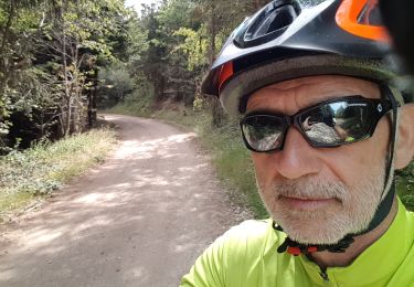
Mountain bike
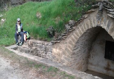
Walking
Walking

Horseback riding
Horseback riding